

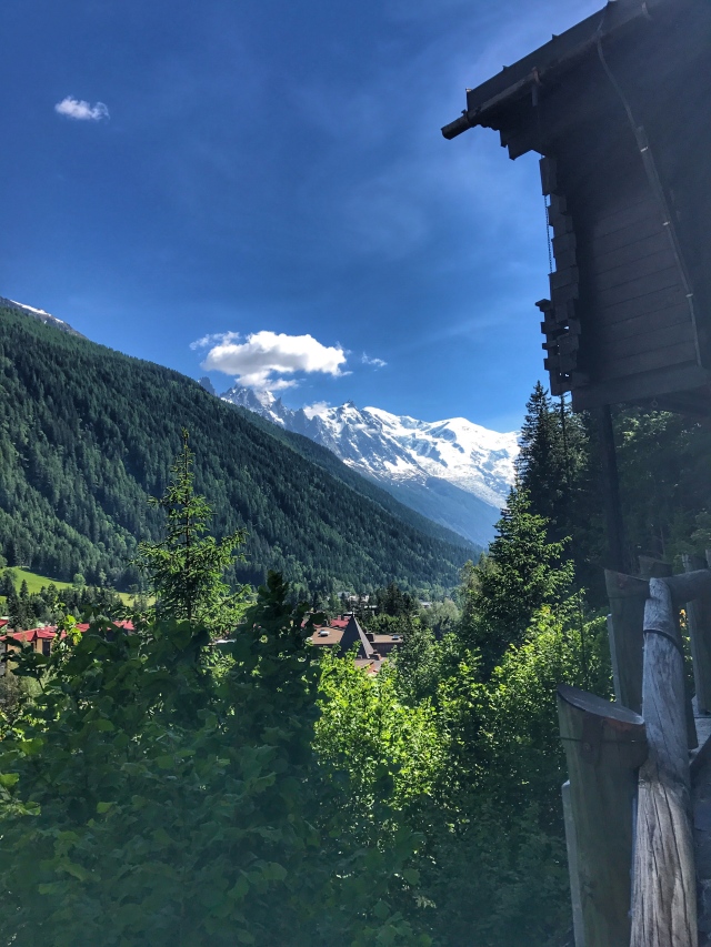
I had initially planned to have a few days at the end of my trip but with some scheduling conflicts it worked out better to make a long weekend of it (my research budget did not get approved for that much time in Geneva). I had initially thought of going to Lauterbrunnen or Zermatt but one of my good friends has spent time in Chamonix, doing the Ultra Trail Du Mont Blanc (163 km race and she crushed it) and just wrapped up a month of skiing so with someone being familiar with the area that I could pick for trail recommendations (and the fact that it’s wayyyy cheaper than Switzerland) that was all it took.

I planned to only do one posting about my time in Chamonix but rather than encumber you with an insane number of photos thought I would break it down into two days for each post. I arrived Friday night after taking a shuttle from Geneva and just in time for yoga hosted by Patagonia. Normally I avoid studios (shout out to YogaGlo on my computer) but figured it would be a good way to get some stretching in for the next day. Thus, I attended my first bilingual yoga class.
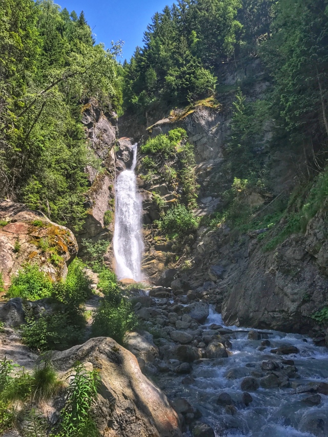
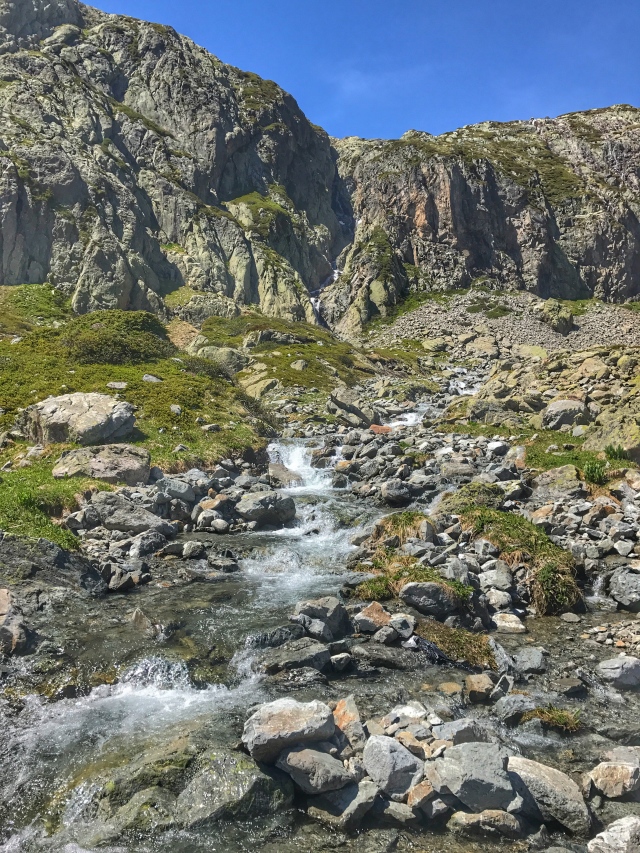
Saturday I decided to ease into being here so only sought out a trail that was about 2 hours give or take. I went up to the Cascade du Dard and then continued on the trail to the La Para. I thought about continuing on but didn’t want to overdue it with the next few days allowing for more time on the trail.
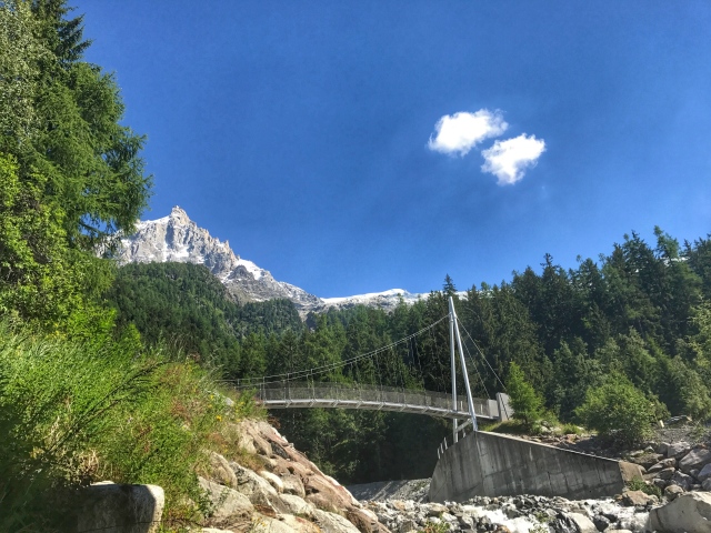
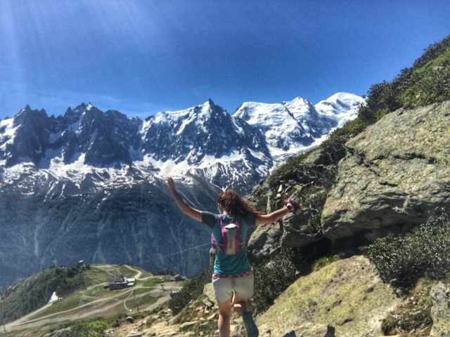
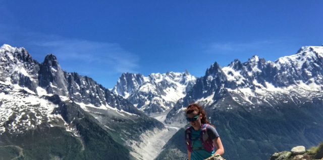
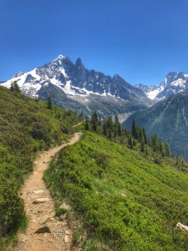
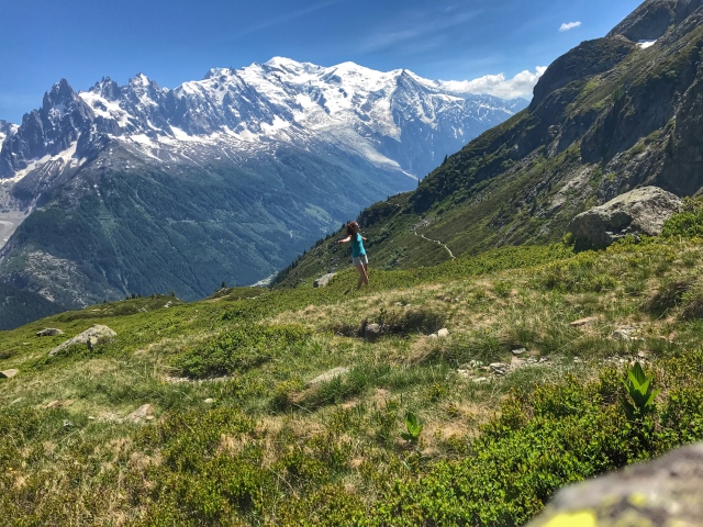
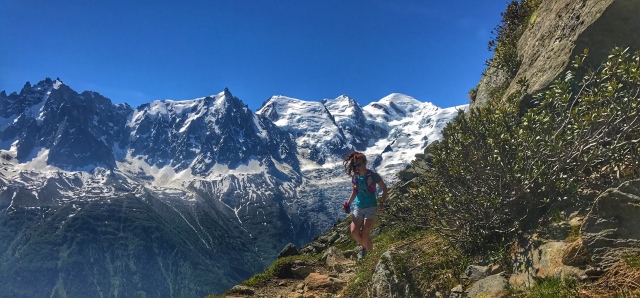
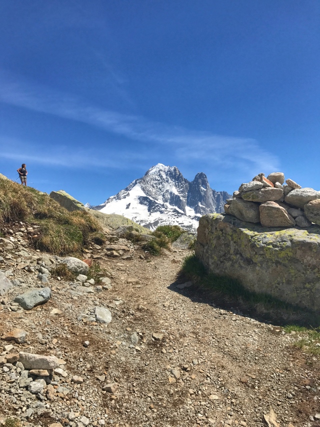
Today at the recommendation of my friend I took the trail up to the Lac Blanc. I started in Chamonix and at the recommendation of the Tourism office took the tram up the first leg (they said it would save me 3 hours of hiking and they told me to plan for a 7 hour day without the initial hike). I opted for the tram, which meant I was sweating profusely before I even got to the trail (still an abnormally high amount of anxiety in them). 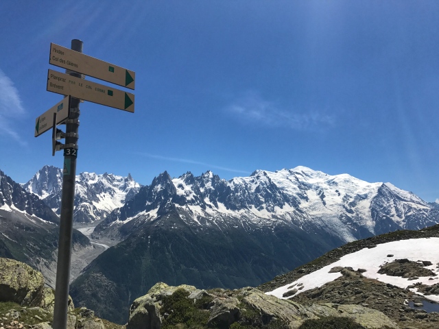 The signage is fairly good but because of my poor sense of direction I took off in the one wrong direction I could have gone and spent an hour getting up to Col Du Brevent. I back tracked (it was only about 15 minutes down if that gives you an idea of steepness) and got on the right trail.
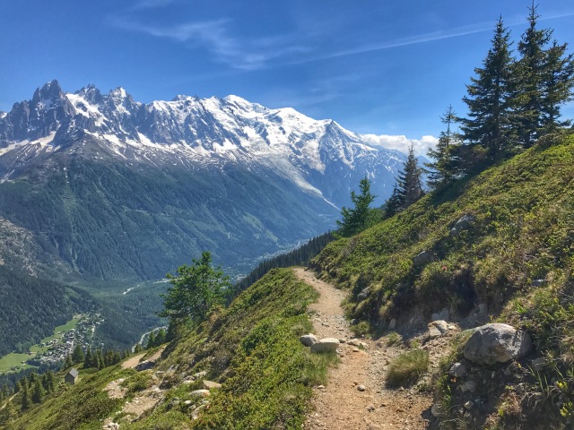
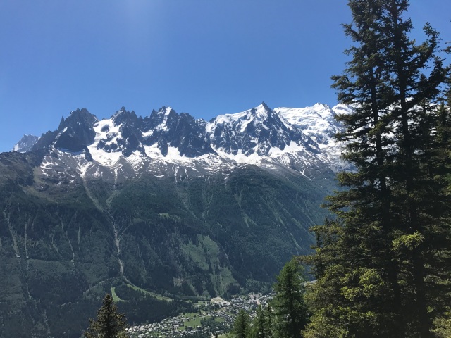
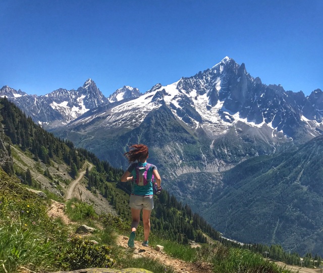
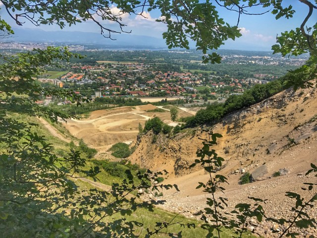
It was sometimes hard to focus on running though as each step offered a new view of the surrounding landscape and it was hard to contain my excitement.
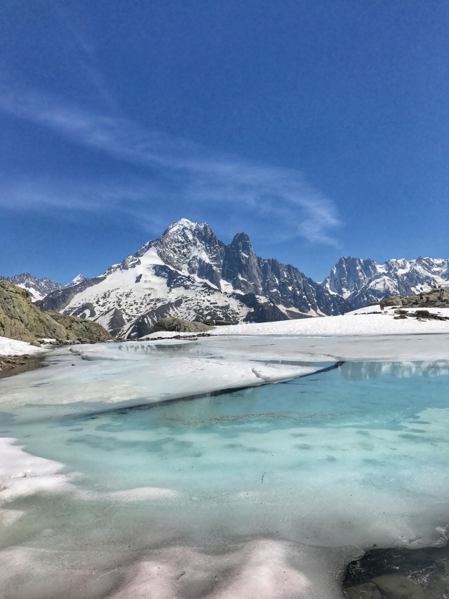
After passing through the last hut before Lac Blanc I had assumed I was nearing 14,000 feet elevation (later I saw I was only at 8,000-what?). My breathing felt labored, my legs were starting to retain lactic acid (is this what people deal with going to Leadville?!? Yikes!). 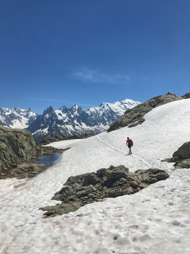 It’s the only time I’ve noticeably felt the effects of the altitude but continued to scamper up the trail, hoping it would be worth it.
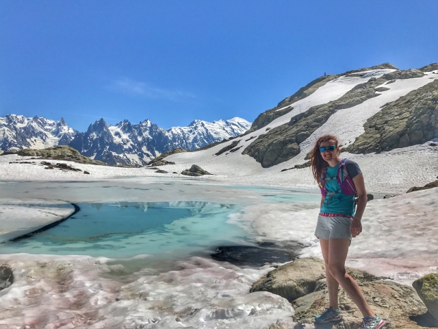
It was, I was in complete awe that my travels allowed me to come here, my mouth was completely open as a surveyed the landscape, is this real life—EEEEEK! Major fan girl moment. How has it taken me this long to get here?!
I was a little low on water at this point and wasn’t sure if I would make it back without running out so instead opted to go left towards Argentiere instead of right back to Chamonix (it was still about 90 minutes down as opposed to the 3 hours it would have taken because I was not going down in the tram). Then opted for the bus, fortunately I had enough left over skittles to contain me until the bus arrived
Hoping to go up the other side tomorrow and reach De L’Aiguille.
Here are a few more photos from today- if you want access to the full 150 (probably why it took me so long to get anywhere today), I’ll send you the google photo link!
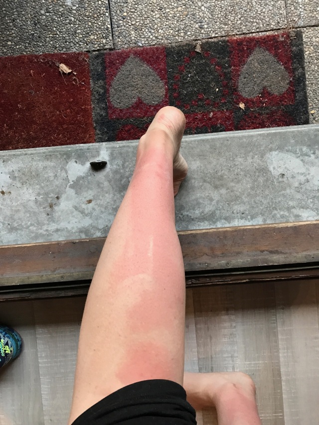
And if you’ve made it this far, congratulations! To reward you here is a PSA on the use of SPF 100, it only works when applied correctly! Looks like I’ll be rocking the pantsuit the rest of the week- ha!


 I ended up on a trail that went up so figured that was it and proceeded to go.


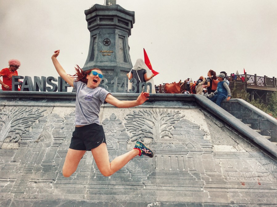
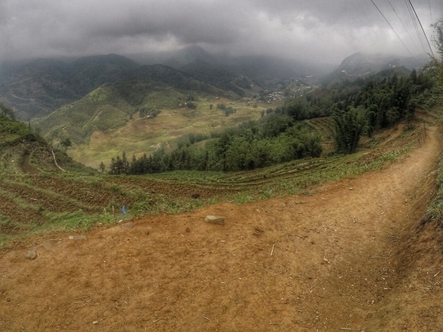
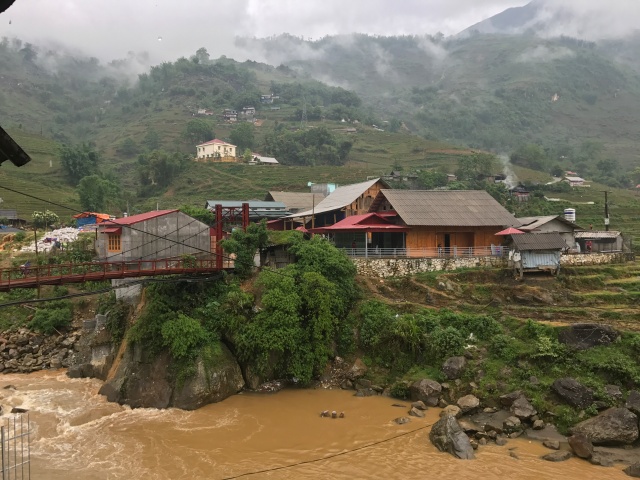
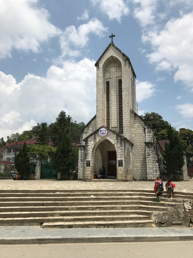
 I knew as soon as stepping off the train I had made the right choice, the air was so much clearer and thinner. Getting in to the hotel by 8am, I was able to drop my bags off and head to go to Mt. Fansipan (the highest peak in the Indochina region at 3,143 meters and for those of you back in the states 10,312 feet). Looking at the trail map it was feasible to climb with the fastest person going up in 2:30 hours and the slowest being 22 hours, yikes!
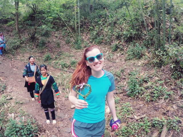
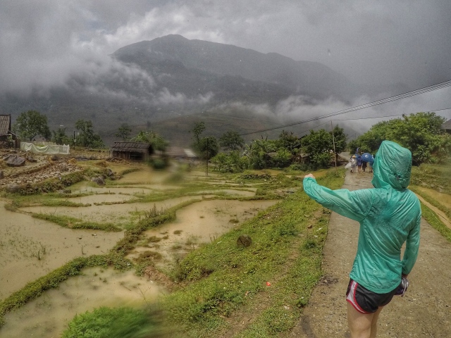
 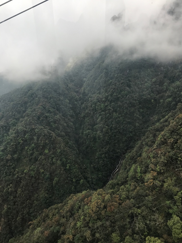 I did not bring enough snacks so instead opted for the 45 minute walk to the gondola that would take you to near the top with 700 steps up to the top.
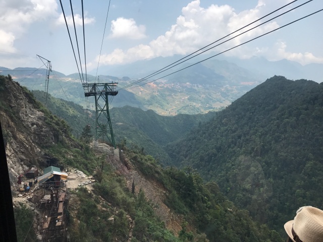
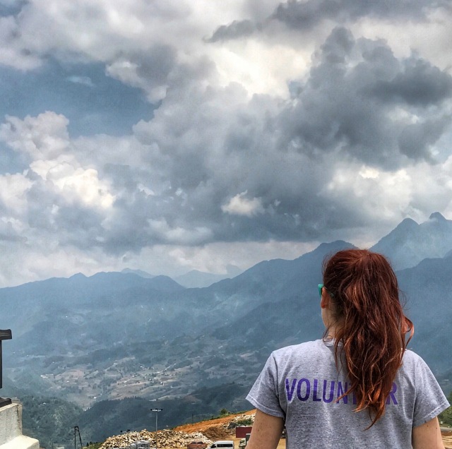
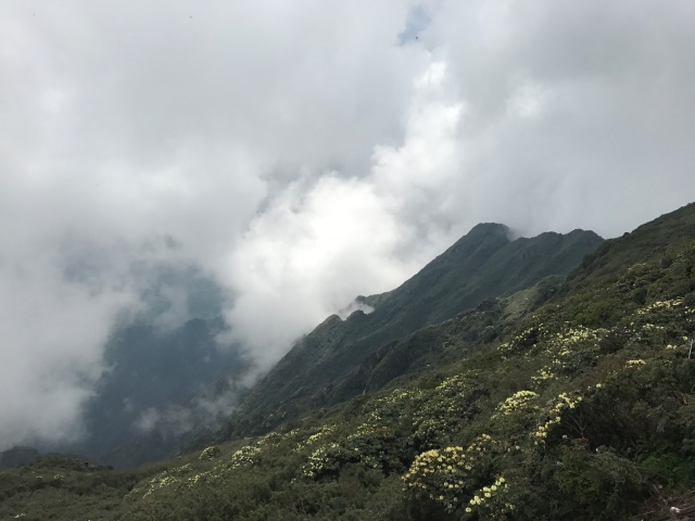 Getting to the top the views were incredible at least when the clouds broke. I was surprised at how many people were at the top and then remembered it was only a gondola ride up. I was more surprised at how many people at the top were smoking (a reoccurring theme in Viet Nam). Getting down the gondola was a little more nervous wracking, the first time the mountain drops off my stomach ended up in my throat.


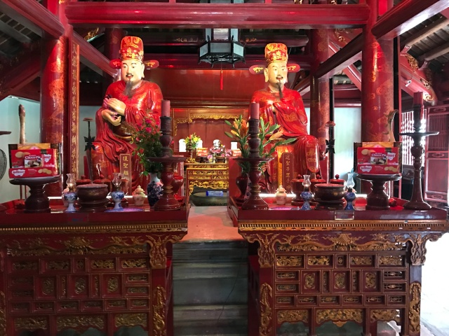


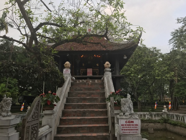
 I also walked across the Huc Bridge into the Temple of the Jade Mountain.


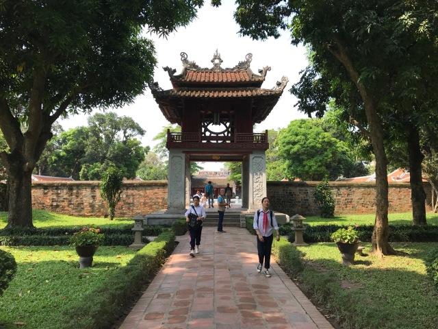
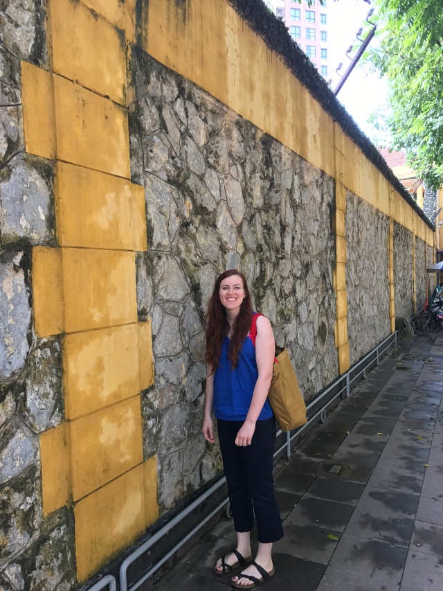
 I never found the Museum of Art, which is what I was really after.


